


How to Read a Tide Table for Island Walks and Rock Pooling
A tide table is not a weather forecast, and it will not tell you whether the sea is calm. What it does tell you is when the water is coming in, how far up the beach it will reach, and how much of the lower shore you can expect to see. On an island, that information is the difference between a pleasant hour on the strand and a scramble across a causeway that is already ankle-deep. Learning to read one properly takes about ten minutes. After that, it is arithmetic and a bit of judgement.
What a tide table actually tells you
Most tables give four lines for the day: high water, low water, high water, low water, each with a time and a height in metres above chart datum. Some list only the two daytime extremes, which is usually what you need if you are planning a walk rather than a night shift.
The first thing to check is which port the table applies to. If your beach is twenty miles along the coast, the times can be half an hour out and the heights noticeably different. Many tables list secondary ports with a time offset and a height adjustment; if your stretch of coast has its own entry, use it rather than the main port.
Tides run roughly twelve hours and twenty-five minutes apart, which is why high water arrives about fifty minutes later each day. That drift is worth remembering: a low tide that suits you this Saturday will be an hour later next weekend.
Heights matter more than times
A low water of 0.4 metres and a low water of 1.9 metres are not the same event, even if they happen at the same hour. The smaller number means the sea pulls back further, exposing sand, gullies, kelp and the shallow pools where most of the interesting life lives.
Heights are measured from chart datum, a level close to the lowest the sea is expected to fall. A predicted height of 0.5 metres means the water will sit half a metre above that baseline — not that the sea will be half a metre deep. On big spring lows you will sometimes see negative figures, which simply means the water drops below the charted baseline.
As a rough guide for rock pooling, a low under about one metre is worth an early alarm. Anything above 1.5 metres and you are mostly looking at the upper shore, which is fine for a wander but thin on anemones and crabs.
Springs, neaps and the fortnightly rhythm
Spring tides happen near the full and new moon, when the sun and moon pull together. The range is at its largest: higher highs and, crucially, lower lows. Neap tides come near the quarter moons, when the range is squeezed and the low water may barely uncover the middle shore at all. Despite the name, spring tides have nothing to do with the season.
If you get one free Saturday a month, use the tide calendar to pick a spring low rather than the neap the week after. It is the single biggest factor in how much shore you can reach.
Filling in the hours between high and low
Tide tables only give you the extremes. The water moves unevenly in between, fastest around the middle of the run and slowest at the turn. The rule of twelfths is a useful approximation over the roughly six hours from high to low:
- First hour: 1/12 of the range
- Second hour: 2/12
- Third hour: 3/12
- Fourth hour: 3/12
- Fifth hour: 2/12
- Sixth hour: 1/12
So if high water is 5.0 metres and low is 0.8 metres, the range is 4.2 metres. In the first hour after high, the sea drops around 35 centimetres. In the third hour it drops more than a metre. Half the range is gone after three hours, which is why the middle of the ebb feels brisk when you are wading back across a channel.
Planning a rock pooling trip
Work with the falling tide, not against it. Aim to be on the shore an hour or two before low water, then move outwards as the sea retreats. Turn around at low water itself and give yourself the same time again to get back — the return leg always takes longer because you are carrying wet gear and stopping to look at things.
Watch how the water behaves around headlands and through narrow channels. Funnelling can make the flood appear to arrive from an unexpected direction, and a shallow bay that looked dry can fill from behind you. If a gully starts running while you are still in it, that is your signal to move up.
Daylight matters too. A noon low in June gives you a generous window; a four o'clock low in December leaves you packing up in the gloom with a rising sea.
Island walks, causeways and getting cut off
Tidal causeways and island paths are rarely as simple as "cross at low water". A crossing may be passable for three hours around low, or only one, depending on the height of the low and the shape of the route. Predictions also assume average weather.
Wind and swell push water onto the shore, and low atmospheric pressure raises levels further. A strong onshore wind during a spring tide can put water where the table says there is none. Calculate the window from the table, then halve it. If it looks marginal, wait for the next tide — there is always another one.
Before you go, tell someone your route and expected return, note whether there is mobile signal on the far side, and identify an escape route that stays above the water even at high tide. Island paths that follow a ridge are kinder than beaches that end at a cliff.
The five-minute check before you set off
None of this needs equipment. A phone app, a printed harbour table or the local tide clock in a shop window will do. The habit matters more than the tool:
- Check the times and heights for the correct port, including any secondary port adjustment.
- Note the range, and whether it is a spring or neap tide.
- Decide your turn-round time and set an alarm on your watch, not just your phone.
- Look at the wind and swell forecast, and ask whether the sea will be doing more than the table predicts.
- On the shore, spend ten minutes watching a fixed marker — a rock, a weed line, a stain on the wall — to confirm whether the water is still falling or has started to rise.
That last step is the one people skip. The table tells you what should happen; the sea tells you what is happening. When the two disagree, believe the sea and head uphill.
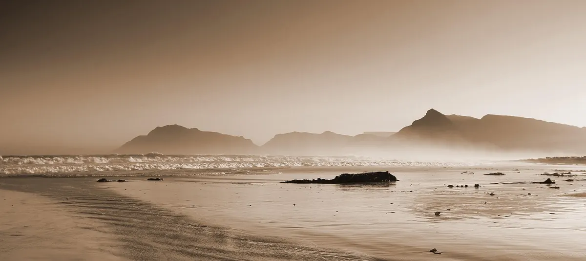
Photo: stephencphotog / Pixabay